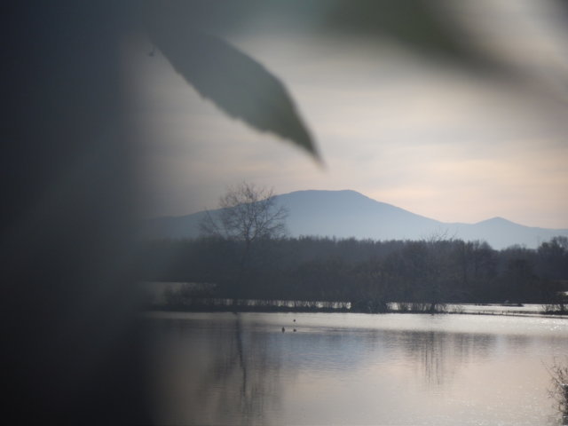
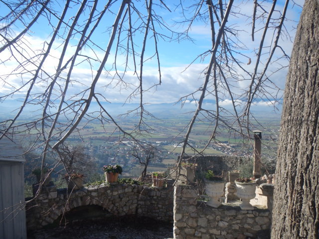
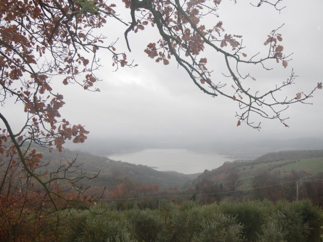
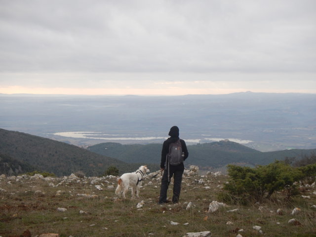
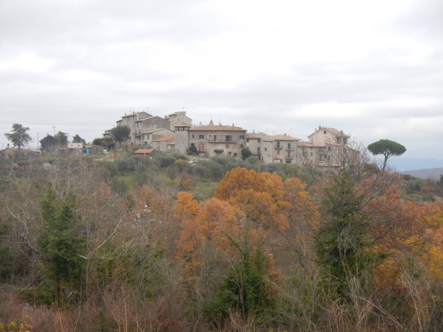
Humbria²O treks
Geolocated digitised mapped routes
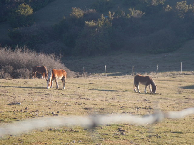
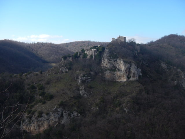
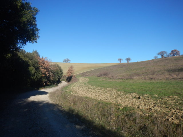
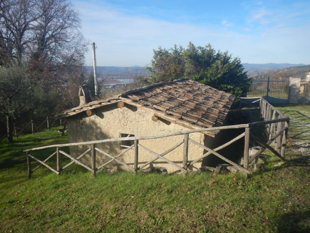
Trekking routes have been mapped and are available free of charge to help walkers with geolocation.
The routes are available on Ammappalitalia: a collective project for mapping walking routes (https://www.ammappalitalia.it/).
![]()
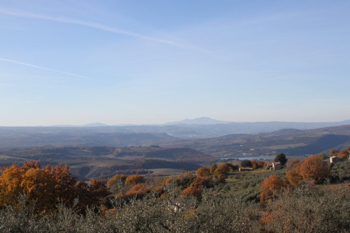
Ammappalitalia is an open and slowly building archive of routes, created with a single, clear standard. We are all the creators of these paths and give each other suggestions on where to sleep and eat. To “map” a territory means to create a network of routes, which can be assembled as desired, and not just a route. “Ammappa” is a local term, geographically located and therefore limited, meaning “how beautiful!”, but it also contains an assonance with the word “mapping”. In the play on words, therefore, lies the essence of going around playing, marvelling, inventing directions to share with others.